By Bruce Doorly
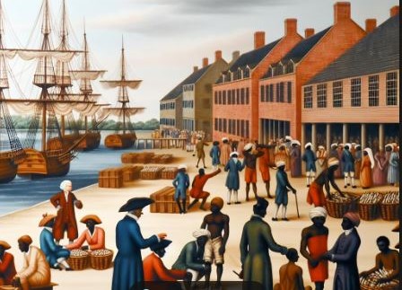
A past article explored what roads, churches, and bridges existed back then. Now we take a look at the ports where Bridgewater imported and exported its goods. There were two busy ports which functioned as “trading centers” on the Raritan River a mile from each other.
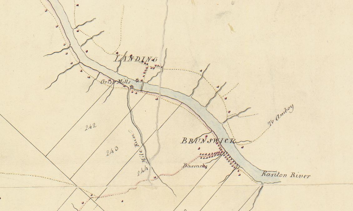
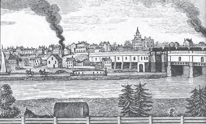
The closest port was called Raritan Landing. It was located where Johnson Park in Piscataway is today (by Rutgers’ Football Stadium.) The other port was known as “Brunswick.” It was (approximately) where Boyd Park is today.
These ports were the furthest points upstream where the water was deep enough for ocean bound cargo ships to navigate.
Starting in the early 1700s, wealthy New York merchants recognized the potential of establishing a port for the import and export of goods to the growing population of Central Jersey. Their business vision proved correct. By 1740, their ports were thriving and still going strong by the start of the Revolutionary War in 1775. Warehouses, shops, and homes grew around the ports.
The Landing Lane Bridge, still there today, but rebuilt, dates back to that era as it appears on a 1766 map. That bridge played a major role moving products over the Raritan River.
The ports shipped to New York City, to other states, and the Caribbean Islands. Due to tax regulations at the time, shipping overseas directly by them was prohibited. Ports at New York City (at the southern tip of Manhattan) and Philadelphia could legally ship overseas.
New Jersey had other larger ports at Perth Amboy and Burlington.
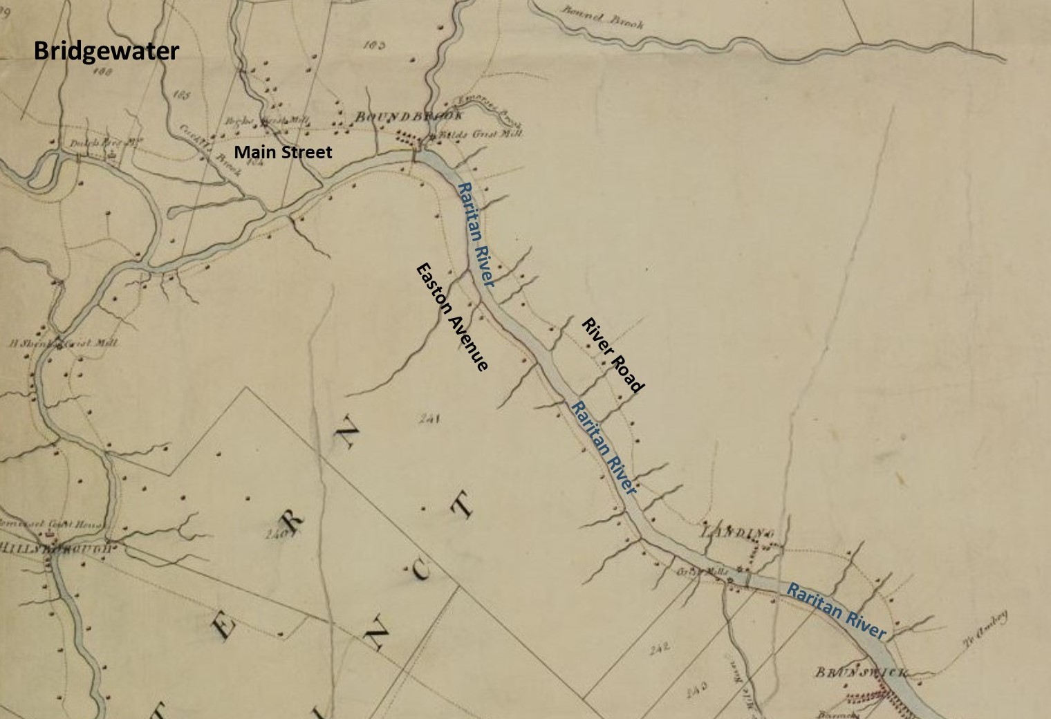
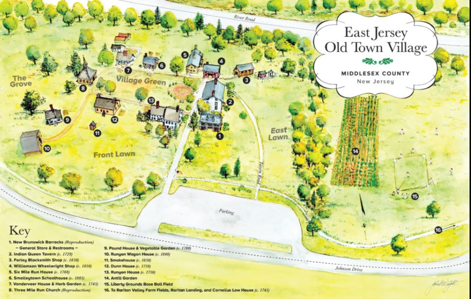
From southeast Bridgewater one can travel east on Main Street/Lincoln Boulevard into Bound Brook and make a right on River Road (in the 1700s it was called “Great Road Up Raritan”) and head south 4.8 miles to where the port and village at Raritan Landing once were.
Then, traveling further one mile south on the Raritan River is where the Brunswick port once was. Viewing the 1766 map “side by side” with Google Maps, one can see that these roads are still 95% the same as 250 years ago.
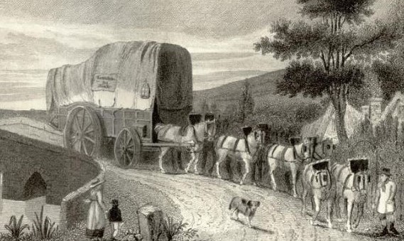
The goods that were imported were often taken to the general stores of the era. One general store in Bridgewater was on Foothill Road at Allen Road. That building still stands and is a home today.
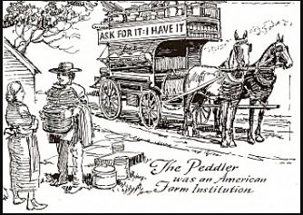
Because cash was scarce in the colonies, peddlers often used the barter system. They traded their merchandise for animal hides or farm produce. They also served as human newspapers, carrying local gossip, news, and letters between isolated communities.
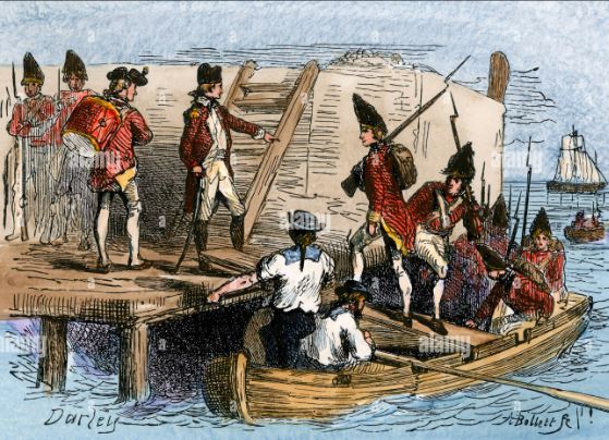
The beginning of the decline of the ports occurred with the six-month British Occupation during the Revolutionary War starting in December of 1776.
The occupation at Raritan Landing is historically well documented, while the occupation at Brunswick is not. But the British surely would not have occupied one port and left the other nearby port in rebel control.
The British destroyed many of the buildings at the port. When the war was over, the port at Raritan Landing was somewhat rebuilt, but did not return to its previous level of trade.
By the 1840s, the railroad network was established, dooming the once thriving ports. By the 1870s, the ports were non-existent.
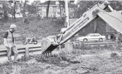
Until 1979 the ports were all but forgotten. Then a highway construction project at Raritan Landing required (by law) an archeological study.
Initially the archeologist found little. Then one day they had a stroke of luck when a curious older resident asked the workers what they were up to. The longtime resident told the archeologists that when the Rutgers Football Stadium was constructed in 1936 that three feet of dirt had been dumped into Johnson Park. So, they knew they needed to dig deeper. Then artifacts from the once thriving port were discovered.
Further, a first-time use of “ground penetrating radar” for archeological purposes began to reveal the outlines of 70 buildings. Over the years twenty-six archeological studies at Raritan Landing have been done providing detailed knowledge of what once was there.
Ironically, this historic village first began in 1978, a year before the initial archeological study at Raritan Landing.
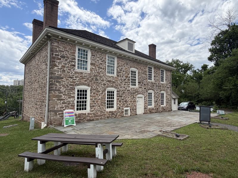
One structure that survives from the glory days at Raritan Landing is the Cornelius Low House. He was a wealthy businessman who operated out of Raritan Landing. Today his house is open to the public five days a week.
It has many rooms telling the story of Raritan Landing as well as the divided loyalties of the Low family between the King of England and the Patriot Rebels.